
Tropical Storm Warning Upgraded for Freeport as Bertha Strengthens in Gulf
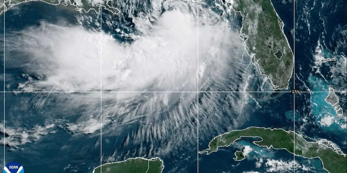
The National Weather Service upgraded the Tropical Storm Watch to a Tropical Storm Warning for South Walton County on Tuesday morning, placing Freeport, Santa Rosa Beach, and Sandestin under the upgraded alert as Tropical Storm Bertha strengthened in the Gulf of Mexico.
Air Force Hurricane Hunters flying into the storm on Tuesday morning found Bertha had intensified, with maximum sustained winds increasing from 50 mph to 60 mph and central pressure dropping to 995 millibars. The storm was centered roughly 70 to 80 miles south of Panama City, moving northwest at 3 mph. The Hurricane Hunters data prompted the NWS Tallahassee to upgrade the watch to a warning at 10:57 AM EDT, meaning tropical storm-force winds of 39 to 57 mph are now expected somewhere within the South Walton area within the next 36 hours rather than merely possible.
Peak wind forecasts for the Freeport area call for 10 to 20 mph sustained with gusts to 30 mph, though the NWS warns the potential exists for winds up to 57 mph depending on the storm’s exact track and intensity. The wind threat has remained nearly steady from the previous forecast. A Tropical Storm Warning means residents should complete preparations and be ready for hazardous conditions.
WJHG Newschannel 7 meteorologists report that 1 to 2 inches of rainfall are expected across the Panhandle through Wednesday, with up to 2 feet of storm surge along the Emerald Coast and 3 feet along the Forgotten Coast. Wind gusts along the coastline could reach 40 mph, with sustained winds of 15 to 25 mph across the interior Panhandle. A Coastal Flood Advisory and High Surf Advisory remain active for South Walton through Wednesday at 2:00 PM EDT, with dangerous rip currents and large breaking waves of 3 to 11 feet in the surf zone. The active weather pattern is holding afternoon highs below average, with temperatures reaching the upper 80s both inland and along the coastline.
Bertha is expected to continue its westward track toward Louisiana into Wednesday, gradually pulling away from the Florida Panhandle. Showers and thunderstorms will persist through Wednesday before clearing out Wednesday night. A more typical summery pattern returns by the end of the workweek, with drier conditions and seasonal highs rebounding into the low 90s inland. Residents should secure loose outdoor items, avoid the Gulf waters due to dangerous rip currents, and stay tuned to official weather channels for updates.
Originally reported by WJHG Newschannel 7 and WJHG First Alert.
