
Isaias Reaches Major Hurricane Strength as Freeport Braces for Landfall Tonight
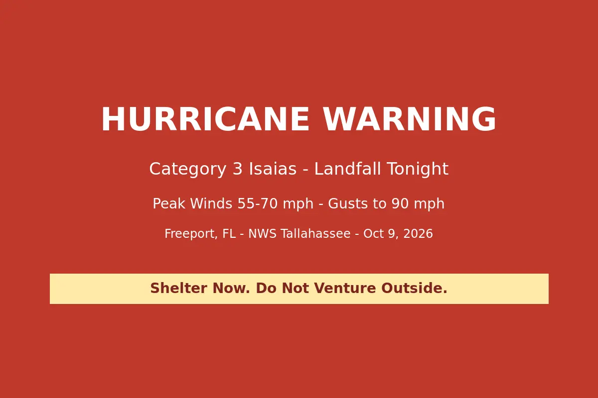
Hurricane Isaias strengthened into a major hurricane Friday morning as it closed on a Friday-night landfall along the western Florida Panhandle, and the National Weather Service raised Freeport’s forecast to peak winds of 55-70 mph with gusts to 90 mph — a sharp jump from Thursday’s forecast of 35-45 mph winds.
The Hurricane Warning for South Walton, reissued at 11:05 a.m. EDT by NWS Tallahassee, lists Freeport alongside Santa Rosa Beach and Sandestin among the locations affected. Forecasters describe the wind threat as having “increased from the previous assessment,” with the potential for winds greater than 110 mph depending on the storm’s final track and intensity, and they are telling residents to plan for extreme wind of Category 3 hurricane force or higher. “Last minute efforts should solely focus on protecting life,” the warning states. “Now is the time to shelter from life-threatening wind.”
The escalation marks a fast-moving day. By 5:30 a.m., Tallahassee forecasters reported Isaias was intensifying and expected to become a major hurricane soon, and by 8:37 a.m. the office’s local statement carried a blunt headline: Isaias becomes a major hurricane. The latest local statement projects the center of the storm reaching the western Florida Panhandle coast this evening. At 2 p.m. EDT, Isaias was about 145 miles south of Pensacola with maximum sustained winds of 120 mph, moving north-northeast at 16 mph, with landfall most likely between Pensacola and Destin.
The warning brings more than wind. Forecasters say life-threatening storm surge of 6 to 9 feet is possible in surge-prone areas, with the surge window running through Saturday morning. An additional 3 to 6 inches of rain — locally higher — could trigger major flooding, and the tornado situation is described as very favorable, with the potential for many tornadoes as the storm’s outer bands sweep inland.
The forecast winds now tower over thresholds local officials set as the storm approached. Walton County’s mandatory evacuation for Zones A, B and C has been in effect since Thursday at noon, with Freeport High School open as the county’s first shelter. The US 331 bay bridge closure protocol calls for shutting the span when sustained winds reach 40 mph — a threshold Friday’s 55-70 mph peak forecast would exceed once the core of Isaias arrives. Residents who have not evacuated are urged to shelter in place, stay away from windows, and be ready to move to the safest room in their home as conditions deteriorate this evening.
Originally reported by the National Weather Service Tallahassee, with forecast details from Yale Climate Connections and prior Walton County preparations from MyPanhandle (WMBB). Image: Generated weather alert graphic based on NWS Tallahassee alert data.
