
Hurricane Watch Issued for Freeport as Isaias Strengthens in the Gulf
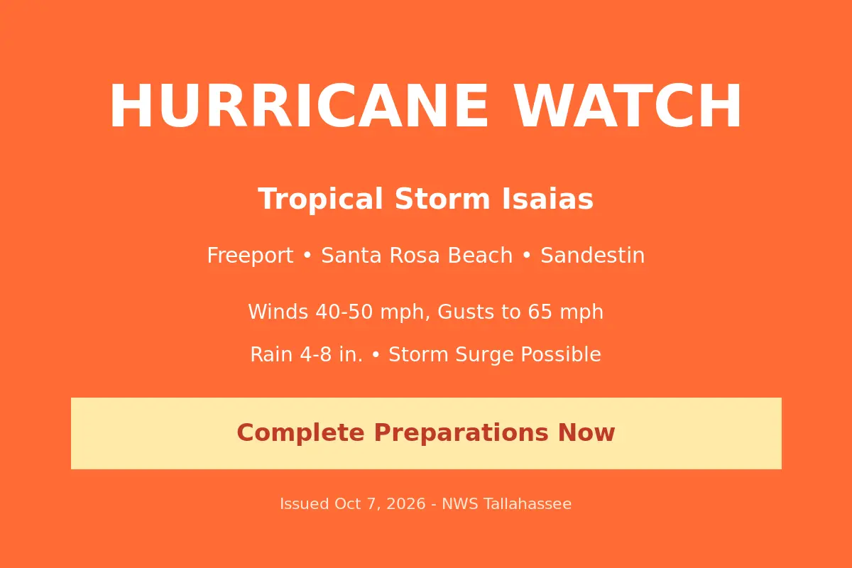
The National Weather Service placed Freeport under a Hurricane Watch Wednesday afternoon, naming the city alongside Santa Rosa Beach and Sandestin as locations in the path of Tropical Storm Isaias as it gathers strength in the Gulf of Mexico.
The watch, issued at 2:09 p.m. EDT by NWS Tallahassee, covers the South Walton zone and means hurricane-force winds are possible somewhere within the area within the next 48 hours. Forecasters expect Isaias to reach hurricane strength before approaching the northern Gulf Coast on Friday, which would make it the first Atlantic hurricane of the 2026 season.
The local wind forecast calls for the equivalent of tropical storm force conditions, with peak winds of 40-50 mph and gusts to 65 mph possible, arriving in a window from Friday afternoon until Saturday morning. The weather service warns the potential exists for winds of 58 to 73 mph depending on the storm’s exact track and intensity, strong enough to damage roofing and siding, snap or uproot shallow-rooted trees, blow over fences and signs, and knock out power in neighborhoods served by above-ground lines.
The flooding threat may prove the more dangerous side of the storm for inland areas like Freeport. Forecasters project an additional 4 to 8 inches of rain, with locally higher amounts, on ground still saturated from the flash flooding that hit Walton County earlier this week. The weather service classifies the flooding rain threat as extensive — rivers, creeks and ditches could overflow their banks in multiple places, and streets and underpasses could become impassable. A storm surge of 4 to 7 feet above ground is possible in surge-prone coastal zones from Friday morning until Saturday morning, and residents in evacuation areas are urged to assemble disaster supplies and know their evacuation route now.
The watch follows a busy day of storm preparations across the Panhandle. Gov. Ron DeSantis declared a state of emergency Tuesday night covering 25 counties including Walton, allowing the Florida Division of Emergency Management to stage generators, fuel, bottled water, meals, tarps and sandbags in Tallahassee and the Santa Rosa area for rapid deployment. Walton County schools will be closed Thursday and Friday so families can prepare, and the Walton County Board of County Commissioners has called a special meeting for 10 a.m. Thursday in DeFuniak Springs to consider declaring a local state of emergency.
The National Weather Service is urging residents to act now to complete preparations before the wind becomes hazardous — secure loose outdoor items, check disaster supply kits, and monitor official weather channels as the forecast evolves. The Hurricane Watch remains in effect through late Wednesday evening, with additional statements expected as Isaias approaches.
Originally reported by the National Weather Service Tallahassee and WJHG Newschannel 7. Image: Generated weather alert graphic based on NWS Tallahassee alert data.
