
Flood Watch Extended for Freeport Through Monday Evening
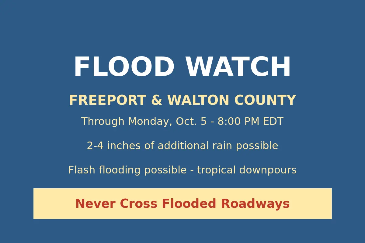
The National Weather Service has extended the Flood Watch covering Freeport through Monday at 8 p.m., adding 12 hours to the flood-risk window residents have been under since early Sunday morning.
The weather service office in Tallahassee reissued the watch Sunday afternoon at 2:34 p.m. EDT, replacing the overnight version that had been set to expire Monday at 8 a.m. The new watch keeps every Walton County zone — North Walton, where Freeport sits, along with Central Walton and South Walton — under the flood threat through Monday evening, alongside Holmes, Washington, inland Bay and inland Gulf counties.
Forecasters now expect an additional 2 to 4 inches of rain across most of the watch area through Monday, with locally higher totals up to 6 inches possible, especially along the Emerald and Forgotten Coasts. A tropical air mass parked over the region continues to produce very high rain rates, and forecasters warn that heavy storms repeatedly tracking over the same neighborhoods can push totals up in a hurry.
The extension comes at the end of a soggy Sunday. Flash Flood Warnings and a series of Flood Advisory bulletins popped up across Walton and Bay counties from before dawn through the early afternoon as thunderstorms dropped 1 to 3 inches of rain over parts of the area, triggering minor flooding in low-lying spots and ponding on roads. With soils already saturated, forecasters say additional rain is more likely to run off than soak in — raising the odds of flooding along rivers, creeks and streams, in poor drainage areas, and in flood-prone neighborhoods.
The weather service is urging residents to monitor later forecasts and be ready to act if Flash Flood Warnings are issued. Drivers should never attempt to cross a flooded roadway — turn around, don’t drown.
Originally reported by the National Weather Service Tallahassee. Image: Generated weather alert graphic based on NWS Tallahassee alert data.
