
Flood Warning Issued for Choctawhatchee River Near Freeport
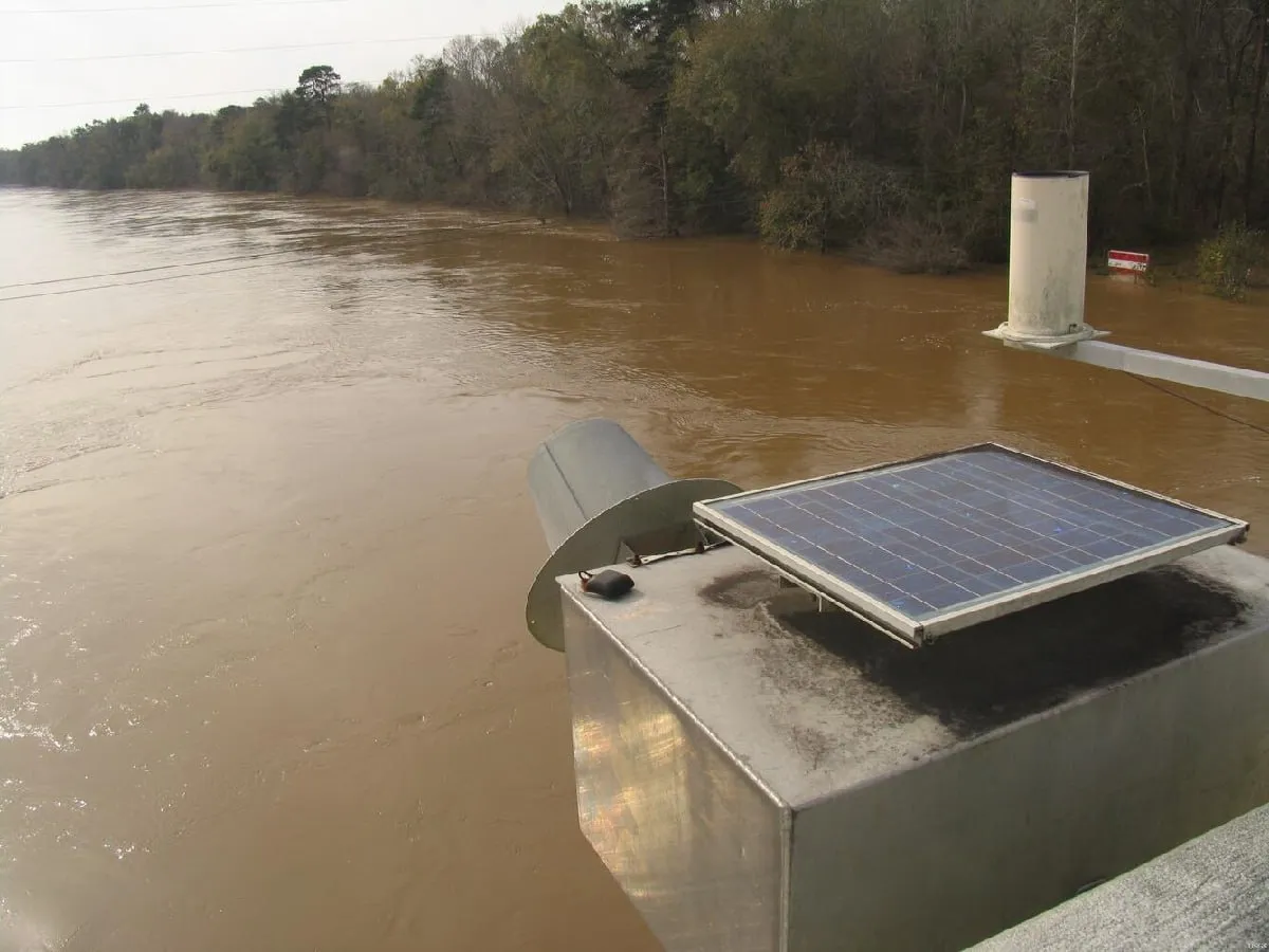
The National Weather Service in Tallahassee has extended a Flood Warning for the Choctawhatchee River near Bruce along State Road 20, with the river forecast to rise above flood stage and remain elevated through early Monday morning, June 29.
The warning, issued at 9:09 a.m. EDT on June 24, affects both Walton and Washington counties. The Choctawhatchee River near Bruce—monitored at the NOAA gauge station BRUF1 along SR 20—is projected to experience minor flooding as the river climbs past the 14-foot mark. Forecasters expect the river to crest at approximately 15.1 feet early Thursday, a level that matches the historic 1983 peak for this gauge.
For Freeport residents, the warning carries direct significance. State Road 20 serves as a primary east-west corridor through the heart of Freeport, connecting the city to Ebro to the east and running west toward Caryville. The Bruce gauge sits roughly 17 miles east of Freeport along this same highway. When the river reaches 14 feet, Big Cedar Road, Cowford Road, and Choctawhatchee River Road—all in Walton County—begin to flood. At that level, floodwaters also intrude into storage areas beneath homes on the west banks of the Choctawhatchee River. Should the river continue rising toward the projected 15.1-foot crest, the impacts deepen. At 29 feet, water reaches the base of the SR 20 bridge over the Choctawhatchee River, and the road becomes subject to closure. At 31 feet, portions of SR 20 west of the river bridge begin to flood, potentially severing a critical transportation link for Freeport commuters.
The Choctawhatchee River has long shaped life in this corner of Walton County. Freeport sits at the northeastern end of Choctawhatchee Bay, near the mouths of LaGrange Bayou and the river itself. Boaters and anglers access the waterway from multiple points along SR 20, including boat landings and a bait shop on River Road east of Bruce. The river’s floodplain has historically been a double-edged sword—rich in natural resources and recreational access, but vulnerable to the slow-moving river flooding that accompanies sustained rainfall across the watershed.
Residents living along or near the Choctawhatchee River, particularly those on Big Cedar, Cowford, and Choctawhatchee River Roads, should monitor the NOAA river gauge at BRUF1 and prepare for the possibility of water approaching their properties. Anyone traveling east of Freeport on SR 20 toward Ebro should stay alert for potential road closures and seek alternate routes if water begins crossing the highway. The NWS advises avoiding driving through flooded roadways, as even shallow water can stall vehicles and sweep them off the pavement. The Flood Warning remains in effect until 2:00 a.m. EDT on Monday, June 29, and updates will be issued as conditions develop.
Originally reported by the National Weather Service, Tallahassee office. River gauge data from NOAA’s Advanced Hydrologic Prediction Service.
Image: USGS
